
I created a shader using the Unity Shader Graph editor. It shows contour lines and elevation shading on the terrain.
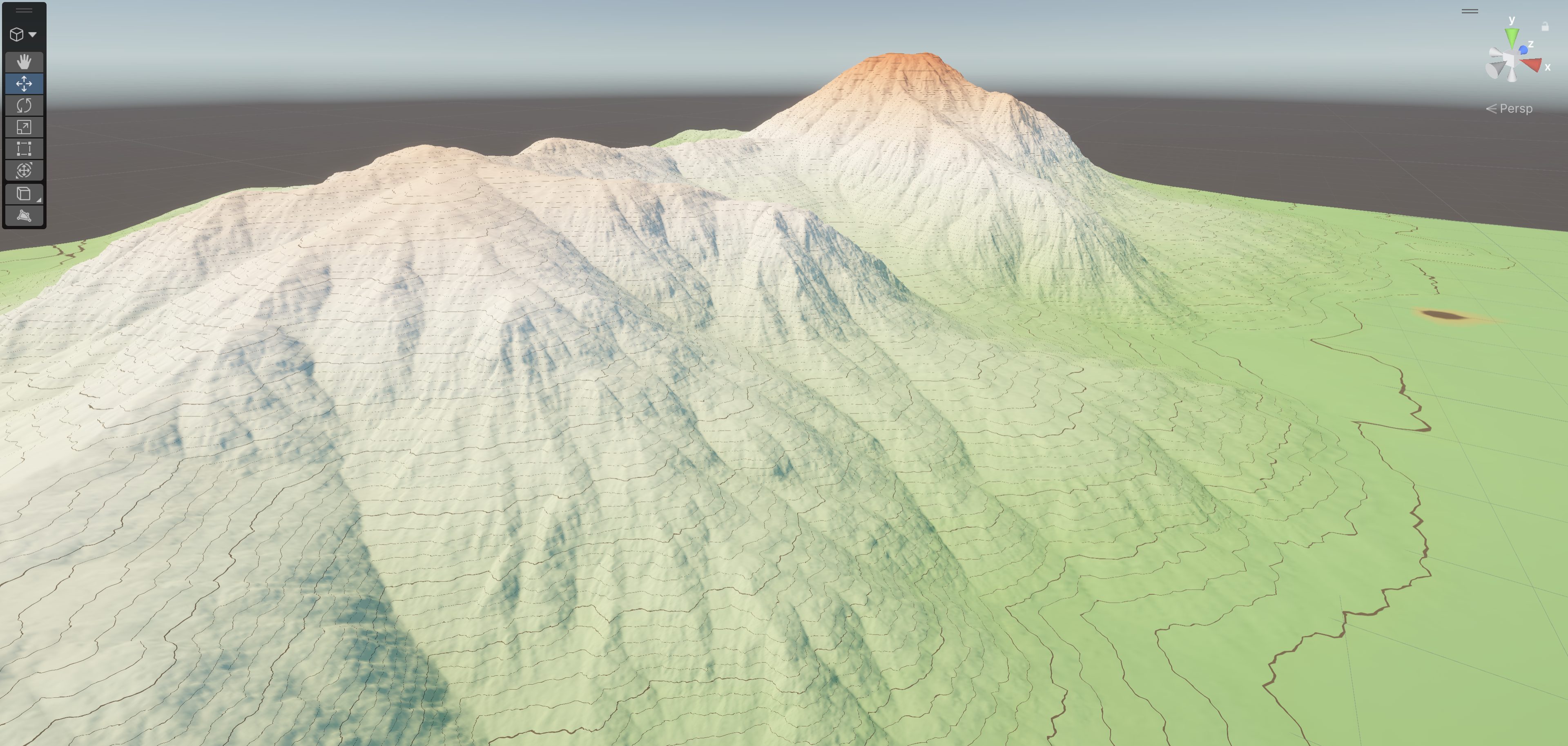
The contour lines are indispensable when surveying new track segments. The coloring is just a nice touch to give this a more refined look.
The shader graph was tricky to create at first since it’s a visual programming medium than I’m familiar with. There are a bunch of nodes to take in and manipulate the elevation (the y coordinate in Unity) into color values. There are separate paths for the major and minor contour lines with a separate section to get the terrain color form a texture image.
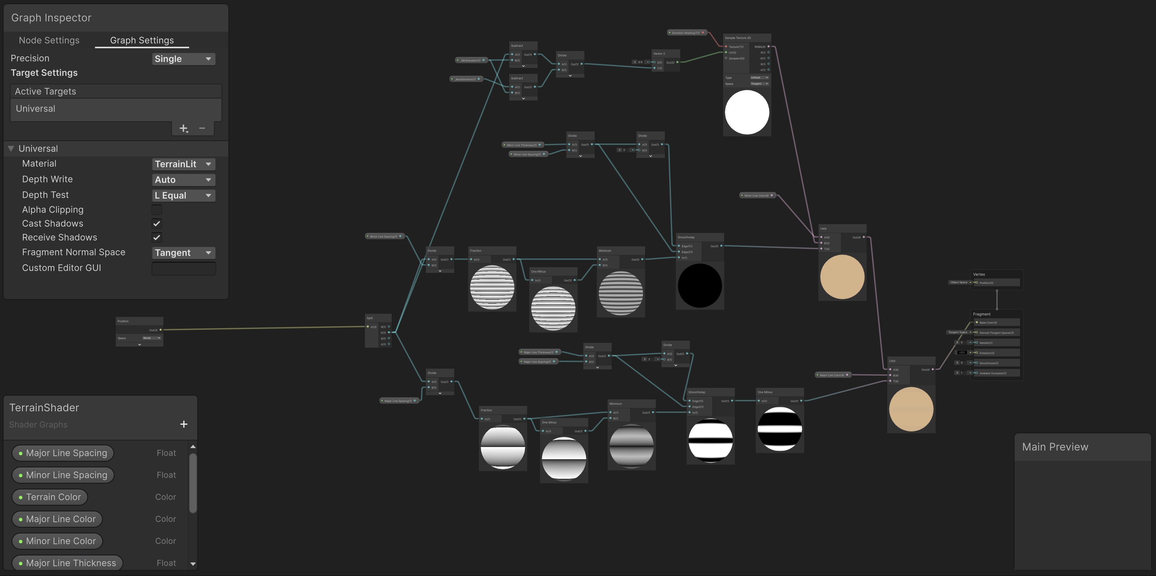
The shader graph is a neat tool although it seems like HLSL (High level Shader Language) code would only take a dozen lines for this. The reason I opted for the shader graph method is because there’s a little bit of work already done for me in that final node. At least it seems that way.
This shader graph does cause some weird shading on the polygons (triangles) that make up the mesh of the terrain. The polygons seem to not have smooth shading and actually look like their normals, the vectors that control the lighting, are backwards since some of the triangles are lighter in the middle and darker on the edges that seem to “point” towards the light source.